History: Antique Maps
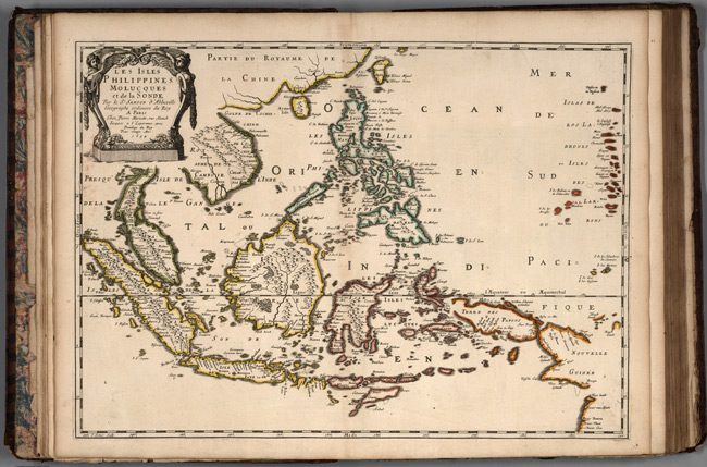
- Title: 1654 Map of Philippines
- Publisher: Cloistre de S Nicolas du Louvre
- Download: High-Res pdf
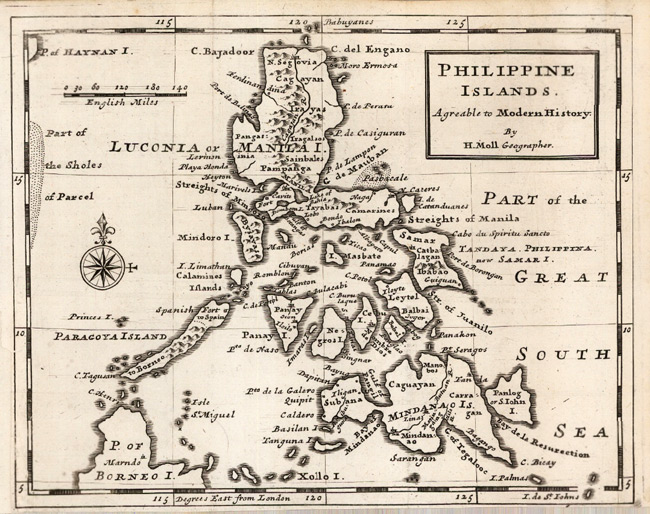
- Title: 1725 Map of Philippines
- Description: Philippines, attractive map of the islands.
- Publisher: Herman Moll
- Download: High-Res pdf
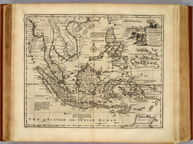
- Title: 1747 Map of East India Islands
- Description: Engraved map. Shows shoals, etc. Relief shown pictorially. Includes geographical and historical notes and ornamental cartouche
- Publisher: William Innys
- Download: High-Res pdf
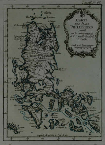
- Title: 1764 Map of Philippines
- Description: Philippines. Map cites Velarde as its source
- Publisher: J.N. Bellin
- Download: High-Res pdf
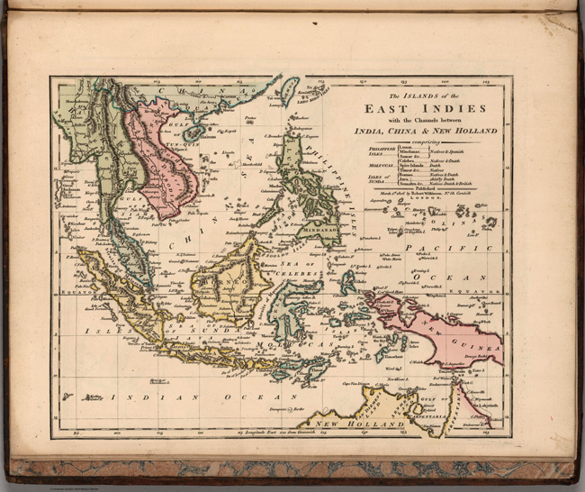
- Title: 1806 Map of The Islands of the East Indies
- Publisher: R. Wilkerson
- Download: High-Res pdf
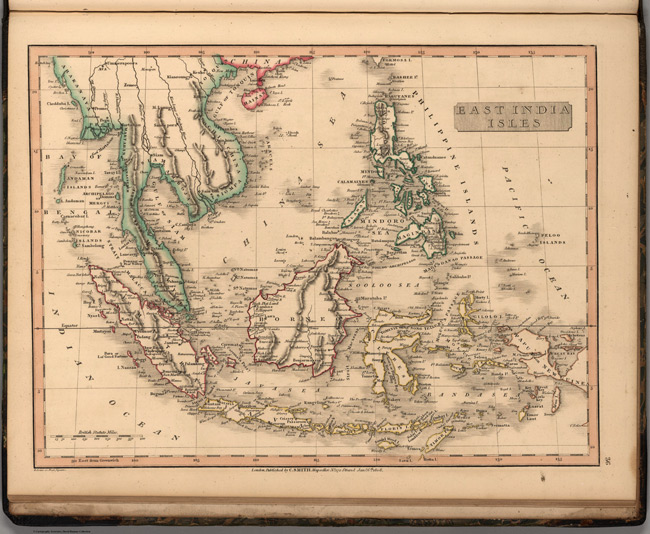
- Title: 1808 Map of East India Isles
- Publisher: C. Smith
- Download: High-Res pdf
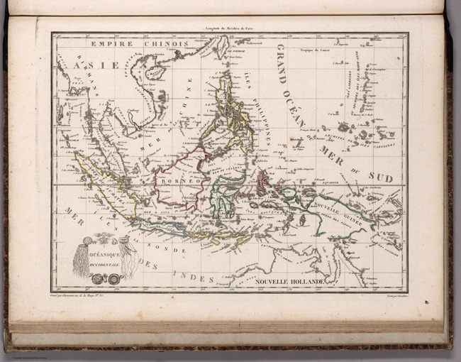
- Title: 1812 Map of Oceanique Occidentale
- Description: Prime meridian is Paris.
- Publisher: Francois Buisson
- Download: High-Res pdf
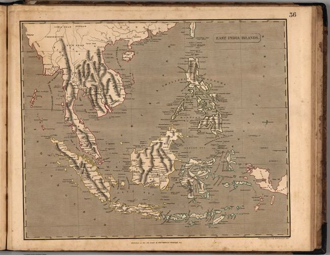
- Title: 1817 Map of East India Islands
- Publisher: Robert Kirkwood and John Smith & Son
- Download: High-Res pdf
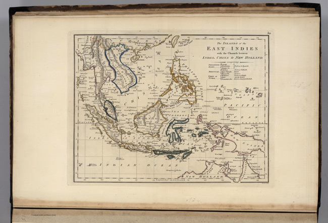
- Title: 1818 Map of Islands of the East Indies
- Description: In outline color. List included noting ownership of islands. Relief shown by hachures. Prime meridian Greenwich.
- Publisher: M. Carey and Son
- Download: High-Res pdf
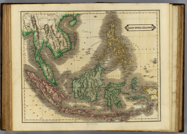
- Title: 1831 Map of India Islands
- Description: Hand colored engraved map. Relief shown by hachures. Includes mainland Southeast Asia.
- Publisher: W. Curry, Jun. & Co. and Whittaker, Treacher & Co
- Download: High-Res pdf
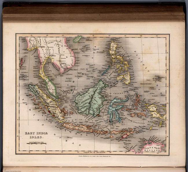
- Title: 1832 Map of East India Isles
- Publisher: W.S. Orr
- Download: High-Res pdf
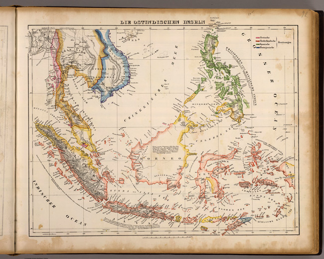
- Title: 1855 Map of Ostindischen Inseln
- Description: Hand colored lithographed map. Relief shown by hachures. Prime meridians: Paris and Ferro
- Publisher: C. Flemming
- Download: High-Res pdf
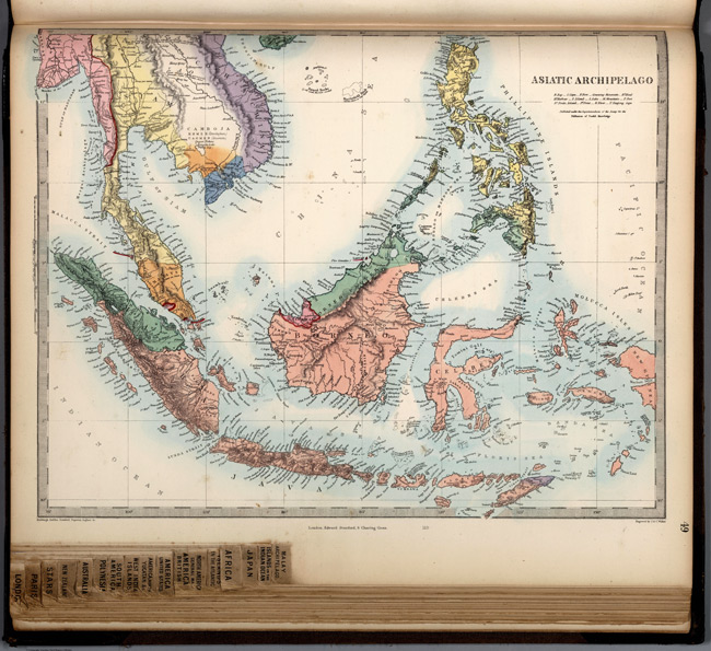
- Title: 1865 Map of Asiatic Archipelago
- Publisher: Edward Stanford
- Download: High-Res pdf
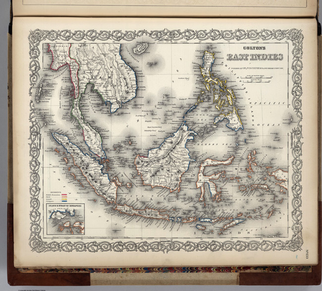
- Title: 1874 Map of East Indies
- Description: Prime meridians are Greenwich and Washington D.C
- Publisher: G. W & C. B. Colton & Co.
- Download: High-Res pdf
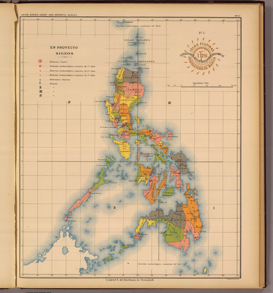
- Title: 1899 Map of Estaciones
- Description: Map in color. Shows states. Shows weather and seismological stations. Shows rivers
- Publisher: U.S. Coast and Geodetic Survey
- Download: High-Res pdf
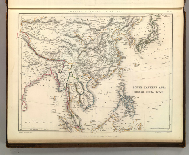
- Title: 1849 Map of South Eastern Asia
- Description: Relief shown by hachures. Countries outlined in color.
- Publisher: Chapman and Hall
- Download: High-Res pdf
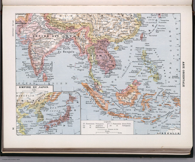
- Title: 1900 Map of Asia Orientale
- Publisher: Librairie Larousse
- Download: High-Res pdf
Copyright © 1993—2025 World Trade Press. All rights reserved.

 Philippines