Geography: Geography
Location
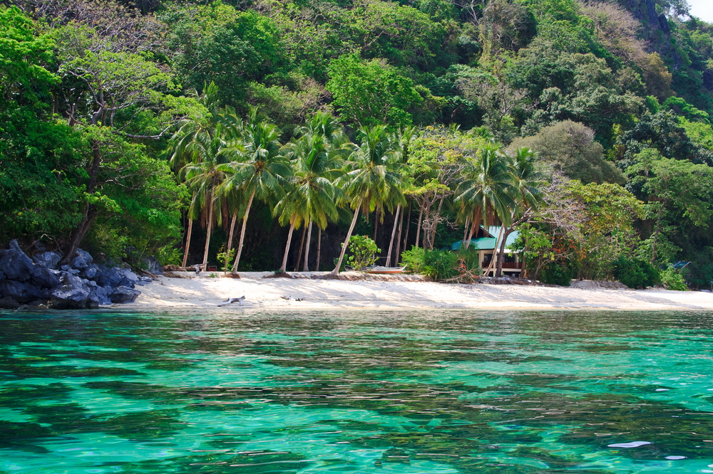
Southeastern Asia, archipelago between the Philippine Sea and the South China Sea, east of Vietnam
Geographic Coordinates
13 00 N, 122 00 E
Map References
Southeast Asia
Area
Total: 300,000 sq km
Land: 298,170 sq km
Water: 1,830 sq km
Country comparison to the world: 74
Area Comparative: Slightly less than twice the size of Georgia; slightly larger than Arizona
Land boundaries: 0 km
Coastline: 36,289 km
Maritime Claims
Territorial sea: irregular polygon extending up to 100 nm from coastline as defined by 1898 treaty; since late 1970s has also claimed polygonal-shaped area in South China Sea as wide as 285 nm
Exclusive economic zone: 200 nm
Continental shelf: to the depth of exploitation
Climate
Tropical marine; northeast monsoon (November to April); southwest monsoon (May to October)
Terrain
Mostly mountains with narrow to extensive coastal lowlands
Elevation
Mean elevation: 442 m
Lowest point: Philippine Sea 0 m
Highest point: Mount Apo 2,954 m
Natural Resources
Timber, petroleum, nickel, cobalt, silver, gold, salt, copper
Land Use
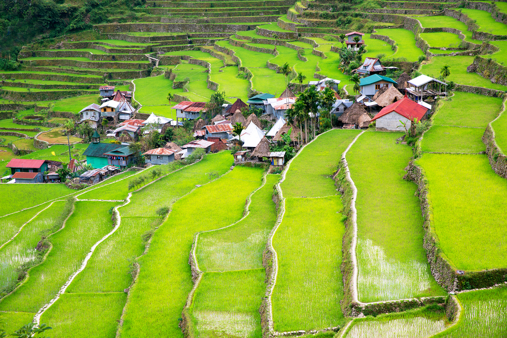
Agricultural land: 41% (2011 est.)
Arable land: 18.2% (2011 est.)
Permanent crops: 17.8% (2011 est.)
Permanent pasture: 5% (2011 est.)
Forest: 25.9% (2011 est.)
Other: 33.1% (2011 est.)
Irrigated land: 16,270 sq km (2012)
Population Distribution
Population concentrated where good farmlands lie; highest concentrations are northwest and south-central Luzon, the southeastern extension of Luzon, and the islands of the Visayan Sea, particularly Cebu and Negros; Manila is home to one-eighth of the entire national population
Natural Hazards
Astride typhoon belt, usually affected by 15 and struck by five to six cyclonic storms each year; landslides; active volcanoes; destructive earthquakes; tsunamis
Volcanism: significant volcanic activity; Taal (311 m), which has shown recent unrest and may erupt in the near future, has been deemed a Decade Volcano by the International Association of Volcanology and Chemistry of the Earth's Interior, worthy of study due to its explosive history and close proximity to human populations; Mayon (2,462 m), the country's most active volcano, erupted in 2009 forcing over 33,000 to be evacuated; other historically active volcanoes include Biliran, Babuyan Claro, Bulusan, Camiguin, Camiguin de Babuyanes, Didicas, Iraya, Jolo, Kanlaon, Makaturing, Musuan, Parker, Pinatubo, and Ragang
Current Environmental Issues
Uncontrolled deforestation especially in watershed areas; illegal mining and logging; soil erosion; air and water pollution in major urban centers; coral reef degradation; increasing pollution of coastal mangrove swamps that are important fish breeding grounds; coastal erosion; dynamite fishing; wildlife extinction
Notes
- for decades, the Philippine archipelago was reported as having 7,107 islands until in 2016, the national mapping authority reported that hundreds of new islands had been discovered and increased the number of islands to 7,641—though not all of the new islands have been verified;
- the country is favorably located in relation to many of Southeast Asia's main water bodies: the South China Sea, Philippine Sea, Sulu Sea, Celebes Sea, and Luzon Strait;
- Philippines is one of the countries along the Ring of Fire, a belt of active volcanoes and earthquake epicenters bordering the Pacific Ocean, and up to 90% of the world's earthquakes and some 75% of the world's volcanoes occur within the Ring of Fire;
- the Philippines sits astride the Pacific typhoon belt and an average of nine typhoons make landfall on the islands each year—with about five of these being destructive; the country is the most exposed in the world to tropical storms
Article written for World Trade Press by CIA Factbook, Current as of 5 May, 2021.
Copyright © 1993—2025 World Trade Press. All rights reserved.

 Philippines
