Geography: Lakes
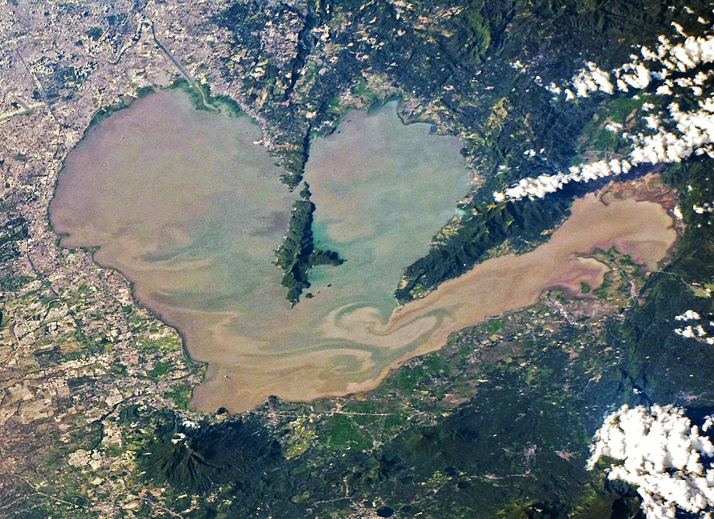
The Philippines, an archipelagic country in Southeast Asia known for its more than 7,000 islands, stunning beaches, and biodiverse landscapes, is home to several significant lakes, each offering unique ecological and cultural insights. Among these, Laguna de Bay, the largest lake in the country, stands out for its role in supporting local fisheries and providing a critical water resource for millions in the surrounding regions. The following table provides an overview of the Philippines' major lakes, focusing on essential aspects such as the lake's surface area, its elevation above sea level, its primary water source, and the nature of its outflow.
|
Lake Name |
Area |
Elevation |
Water Source |
Outflow |
|
Laguna de Bay |
911–949 km² |
2 m |
21 tributaries |
Pasig River via Napindan Channel |
|
Taal Lake |
234 km2 |
5 m |
Alulod River |
Pansipit River |
|
Lake Lanao |
334 km2 |
700 m |
4 tributaries |
Agus River |
|
Lake Mainit |
173 km2 |
42 m |
28 creeks and rivers |
Calinawan River |
|
Naujan Lake |
81 km2 |
20 m |
Rivers and streams, including the Butas River |
Butas River |
|
Lake Buluan |
61 km2 |
N/A |
Marbel River |
Buluan River |
|
Pantabangan Lake |
69.62 km2 |
230 m |
Pampanga River |
Pampanga River |
Copyright © 1993—2025 World Trade Press. All rights reserved.

 Philippines
