Geography: Rivers
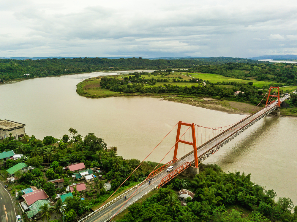
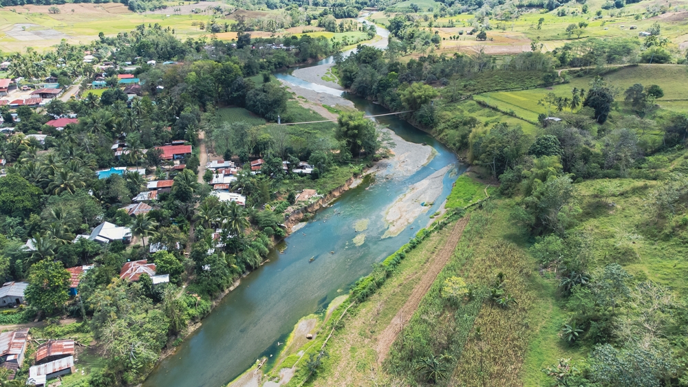
The Philippines is endowed with an extensive network of rivers that meander through its more than 7,000 islands. These rivers, such as the Cagayan, Davao, and Agusan, play a crucial role in the country's diverse ecosystems and are integral to the lives of its people. They provide essential irrigation for agriculture, supporting the cultivation of rice, corn, and other crops that are staples of the Filipino diet and economy. In addition to their role in agriculture, these rivers are important for transportation, especially in remote areas, and are a source of hydroelectric power. They also support a rich array of biodiversity, providing habitats for numerous species of plants and animals. Beyond their practical uses, Philippine rivers are woven into the cultural fabric of the nation, featuring in folklore, traditions, and historical narratives. The table below presents an overview of the major rivers in the Philippines, detailing their lengths, sources, and outflows.
|
River Name |
Length |
Source |
Outflow |
|
Cagayan River |
505 km (314 mi) |
Sierra Madre Mountains |
Babuyan Channel |
|
Pulangi River |
320 km (199 mi) |
Kitanglad Mountains |
Illana Bay |
|
Agusan River |
240 km (149 mi) |
Compostela Valley |
Butuan Bay |
|
Pampanga River |
261 km (162 mi) |
Sierra Madre Mountains |
Manila Bay |
|
Agno River |
206 km (128 mi) |
Cordillera Mountains |
Lingayen Gulf |
|
Abra River |
178 km (111 mi) |
Cordillera Mountains |
South China Sea |
|
Chico River |
174 km (108 mi) |
Cordillera Mountains |
Cagayan River |
|
Cagayan de Oro River |
112 km (70 mi) |
Kitanglad Mountains |
Macajalar Bay |
|
Davao River |
160 km (99 mi) |
Mount Apo |
Davao Gulf |
|
Bicol River |
143 km (89 mi) |
Mount Asog |
Lagonoy Gulf |
Copyright © 1993—2025 World Trade Press. All rights reserved.

 Philippines
